Mapping the Early American Republic

For the United States, unlike France or Germany, history was synonymous with growth, and the present could be framed as the fulfillment of past struggles. The past was never the story of loss, only gain. Historical maps, timelines, graphs, and charts transformed the unpredictable and contingent past into the orderly stages of inevitable growth.
After the War of 1812, geographic education rapidly gained strength as a foundation for national identity, and this stimulated the demand for historical mapping. But these maps were also made possible by a growing interest in the graphic representation of knowledge, especially the emergence of timelines to measure change.
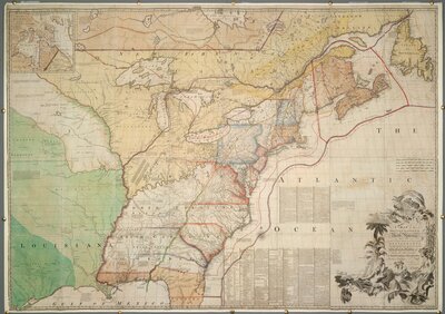
A Map of the British Colonies in North America with the Roads, Distances, Limits, and extent of the Settlements, Humbly Inscribed to the Right Honourable the Earl of Halifax, and the other Right Honourable the Lords Commissioners for Trade & Plantations by Their Lordships most obliged and very humble servant, Jno. Mitchell
1755
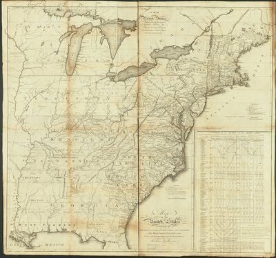
A map of the United States exhibiting post roads & distances : the first sheet comprehending the nine northern states, with parts of Virginia and the territory north of Ohio
1796
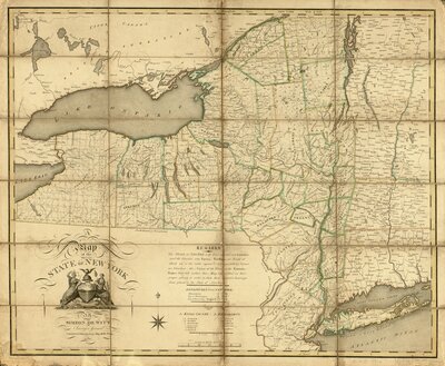
A map of the State of New York
1804